Mapping
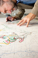
Geological maps form the most important basis for almost any geoscientific problem. The coloured display of the distribution of rock units on topographic maps accompanied by special symbols and line elements portray the orientation of these units in space. Information on rock age and composition together with the location of quarries and land slides complement the map.
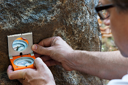
It all starts with mapping, i.e. detailed field investigation by geologists, be it in high mountains, dense forest or urban areas. The main tools of a field geologist are hammer and compass. GPS and handheld computers have been added recently. Vegetation and soil cover often obstruct the view onto underlying rocks. In this case, drilling by hand or by machines mounted on trucks allows inspection of the subsurface. Geophysical techniques can also help.
After completion of a manuscript map, cartographic processing is performed digitally. The overall goal is to present a maximum amount of information without limiting readability of the printed map.
GBA produces geological map sheets at the scales of 1 : 50,000 / 25,000 and 1: 200,000 aiming to cover the entire territory of Austria. Regional, thematic or overview maps are also published.


