Department
Geoinformation
The department of Geoinformation was established 2010, by combining the department of cartography and graphic, editorial department and the Geo data centre.
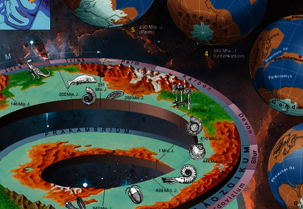
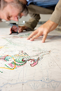
The work fields include all works necessary for: the technical creation of geological maps, single printed publications with graphical and photographical images, database and GIS-conform digitalization as well as digital print pre-stages with integrated colour management.
In addition all text publications done by the publisher of the GBA, the website including content management system and our monthly newsletter are supervised by an own editorial journalist from the department.
In the field of geodata management the department falls to assure coordination with regards to content and administration of central spatial geoscientific databases (Geodata). The topics vary from data modelling to operating web services and web applications. In cooperation with other departments (Department of IT & GIS, Division of Geological Mapping and Division of Applied Geosciences) forming a work group, basics for the realization of the EU-guideline INSPIRE respectively the Austrian Geo data Infrastructure law (GeoDIG) are worked out. The goal is to have Europe-wide consistent data structures.
» Mag. Martin Schiegl (Leiter)
» Maria-Anne Barxell
» Dipl.-Ing. Thomas Fuhrmann
» Dr. Viktoria Haider
» MSc. Margareta Harbich
» Mag. Christine Hörfarter
» BSc. Janine Kaimbacher (derzeit karenziert)
» BSc. Christian Linsberger
» MSc. Francisco Porras Bernardez
» MSc. Haya Majid Qureshi
» Mag. Johannes Reischer
» MA Elnaz Steffal
» OR Mag. Werner Stöckl


![[] With a geological map superimposed digital terrain model, including a structural diagram.](/fileadmin/_processed_/7/3/csm_fa_bild_geoinfo_3d_model_4004342e7f.png)